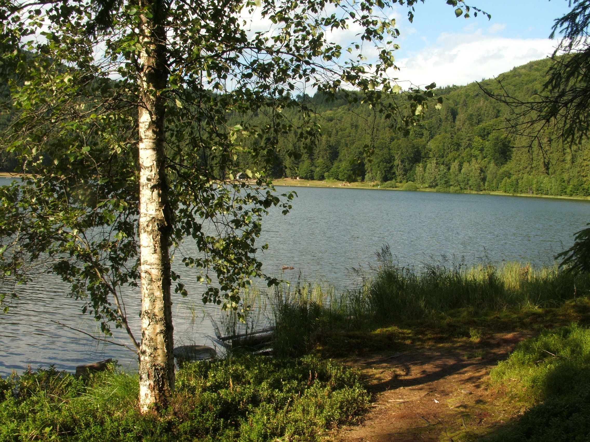
This is an editorial itinerary grouping five places in the Ciomad–Băile Tușnad–Bálványos area; it is not an official continuous trail or a route marked under the name ‘The Road of Water and Stone’. The weekend version assumes road transfers between access points and separate use of the local trails.
Region
Ciomad / Băile Tușnad / Bálványos
Duration
2 Days, with road transfers between access points
Journey type
Weekend journey
Stops
5 Traces
Difficulty
Variable; the itinerary combines easy visits with demanding hikes. The destination operator describes the Falcon Stone ascent as suitable for people accustomed to hiking and with an appropriate level of fitness.
Best season
May–October; Mohos Peat Bog is closed in winter, and trail conditions must be checked before setting out
Before you go
Safety is part of the journey.
This is an editorial itinerary with transfers, not a continuous trail. Check the official schedule for Lake Saint Anne and Mohos Peat Bog, current access and warnings at Puturosu Cave, and trail conditions for Bálványos Fortress and Falcon Stone. At the cave, do not cross barriers or treat smell or the yellow crust as indicators of a safe area.
Practical information checked 3 September 2026
—On the day of your visit, check weather, closures, opening information, and local rules in the official resources.
—Stay on marked, permitted routes. Turn back if markings, weather, or terrain become unclear or unsafe.
—Avoid going alone and tell someone your route and expected return time.
—Carry an offline map, charged phone, water, changing-weather layers, and a first-aid kit; mobile coverage is not guaranteed.
—Keep your distance from wildlife, never feed it, and follow local bear alerts and instructions.
In an emergency, call 112 or 0SALVAMONT (+40 725 826 668) and provide your location and the group’s condition.
Itinerary
Traces along this road
Day 1 — Craters, water, and peat bog
Start with the Lake Saint Anne and Mohos Peat Bog area. The one-day plan assumes road access to the lake area. The marked hiking route from Băile Tușnad is a separate, substantially longer outing.
01
Waters
Volcanic crater lake
Lake Saint Anne
Lake Saint Anne · Ciomad massif, near Băile Tușnad
Romania’s only volcanic crater lake, hidden in the Ciomad massif, where the water seems quieter than the place around it.
Duration varies; check official opening hours and last entry
Day 2 — Sulphur, walls, and stone
Continue with separate stops in the Bálványos area and Băile Tușnad: Puturosu Cave, Bálványos Fortress, and Falcon Stone. They do not form a single marked trail; the day requires transfers between access points and separate use of each path.
03
Depths
Modified sulphurous cavity / natural mofetta
Puturosu Cave
Puturosu Cave · Bálványos / Turia
A sulphurous cave on Puturosu Mountain, where dense air, yellow crusts, and natural emissions make the place seem alive.
Approx. 1 hr 45 min–1 hr 50 min round trip, including the published stops at the information panels and viewpoint
Journey guide
Practical notes
Region & Duration
Ciomad / Băile Tușnad / Bálványos · 2 Days, with road transfers between access points
Difficulty
Variable; the itinerary combines easy visits with demanding hikes. The destination operator describes the Falcon Stone ascent as suitable for people accustomed to hiking and with an appropriate level of fitness.
01
Starting point
The itinerary has no single trailhead. The weekend version assumes separate access to the Lake Saint Anne–Mohos Peat Bog area, Băile Bálványos, and Lake Ciucaș in Băile Tușnad.
02
Recommended base
Băile Tușnad for the lake, peat bog, and Falcon Stone; Băile Bálványos / Turia for Puturosu Cave and Bálványos Fortress
03
Best season
May–October; Mohos Peat Bog is closed in winter, and trail conditions must be checked before setting out
04
Family friendly
Only partly. The itinerary is not family-friendly throughout. The destination operator describes the Falcon Stone route as suitable for people accustomed to hiking and with an appropriate level of fitness; there is no separate recommendation for children. At Puturosu Cave, the all-ages recommendation applies to the first trail section, not exposure to cave gases; children require constant supervision.
05
Keep in mind
This is an editorial itinerary with transfers, not a continuous trail. Check the official schedule for Lake Saint Anne and Mohos Peat Bog, current access and warnings at Puturosu Cave, and trail conditions for Bálványos Fortress and Falcon Stone. At the cave, do not cross barriers or treat smell or the yellow crust as indicators of a safe area.